
The sunshine took a while to come out for most coasts and valleys leading to a cooler day in the 60s and 70s, trending about 5 degrees below average. The mountains and deserts saw plenty of sunshine, with temperatures trending a little warmer today.
Tomorrow will be cooler and cloudier with slow clearing for inland areas and limited clearing near the coast.
An area of low pressure swings south, becoming a closed low and stalling over the southwest. This will usher in even cooler temperatures by Friday and a chance of light showers Thursday and Friday, with the best chance Thursday night into Friday morning. Accumulations, if any, will be light between a trace and .10".
Friday will be the coolest day of the week with temperatures trending 5 to 10 degrees below average for most of the county and locally up to 15 degrees below average for some foothill, mountain and desert locations.
Gusty winds will target the mountains and deserts on Thursday with westerly winds of 25 to 35mph.
As the system slowly moves east we will likely get our first round of mild Santa Ana winds of the season. This will clear out the clouds and bump temperatures back near normal by Sunday. Temperatures continue to warm into early next week.
The strength of the offshore winds will depend on where the low sets up. At this point, we expect northeasterly winds of 25 to 40mph in the foothills and mountains late Friday through Sunday.
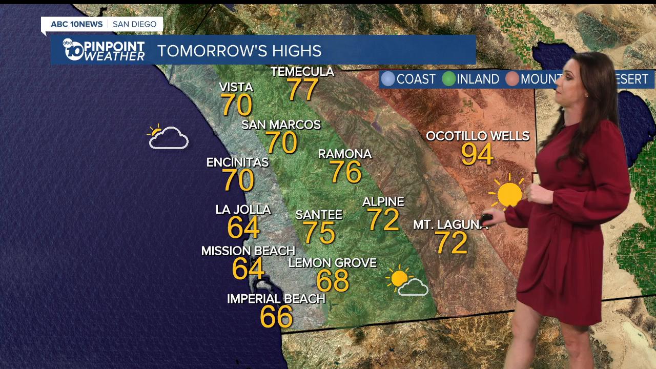
Wednesday's Highs:
Coast: 64-72°
Inland: 71-77°
Mountains: 71-78°
Deserts: 91-95°
Follow ABC 10News Meteorologist Megan Parry on Facebook at Megan Parry 10News, Instagram @mis_meg_wx and Twitter @10NewsParry.
