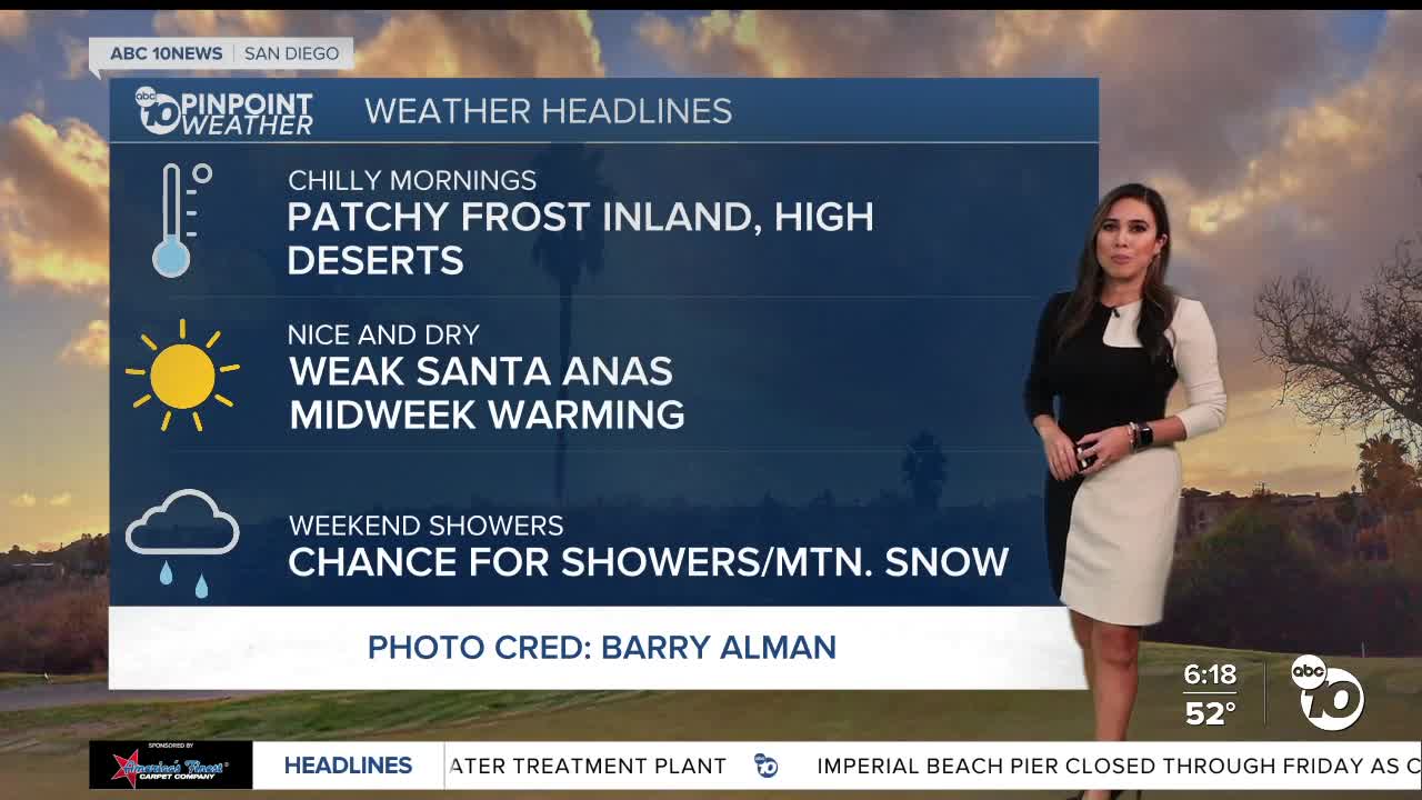
We'll eventually thaw out, with temperatures a little warmer this afternoon, especially in areas away from the coast. Daytime highs will continue to trend below normal. The coastal communities will climb to the 60s. Low 70s are on tap for the valleys and deserts, and the mountains will top in the low 50s.
Mild Santa Anas will target the canyons and passes with peak gusts up to 35mph. Humidity levels will also drop in the teens and 20s, increasing fire danger.
Chilly mornings will continue through most of the week, with the potential for patchy frost in the valleys and high deserts. Overall, calm conditions prevail this week before the weekend changes.
A storm system will arrive by Saturday, bringing noticeable cooling on Saturday and a chance of showers, potentially as early as Saturday night, with a better chance of rain Sunday into Monday.
Tuesday's Highs:
Coast: 64-67°
Inland: 68-73°
Mountains: 54-64°
Deserts: 69-71°
For the latest news, weather, and traffic updates, follow Vanessa Paz on Facebook, Twitter, and Instagram.


